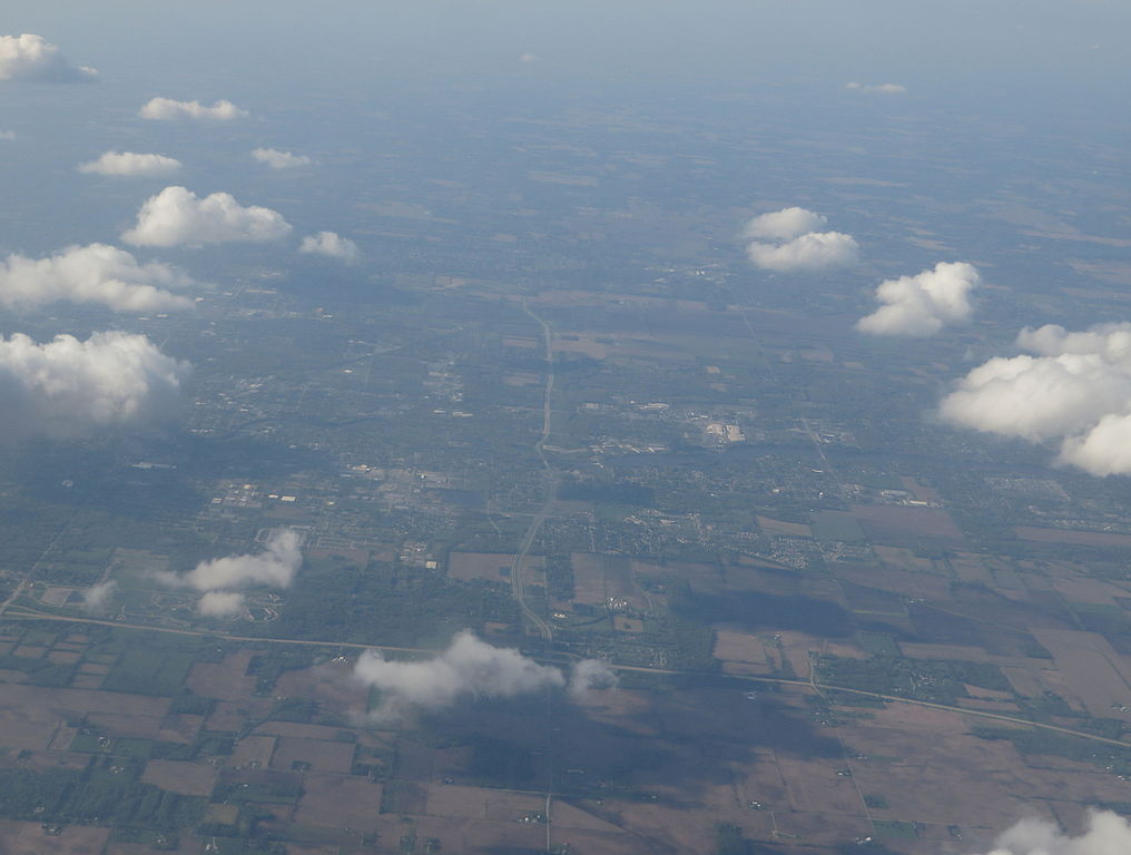
Indiana is a U.S. state located in the Midwestern and Great Lakes regions of North America. Indiana is the 38th largest by area and the 17th most populous of the 50 United States. Its capital and largest city is Indianapolis. Indiana was admitted to the United States as the 19th U.S. state on December 11, 1816. Indiana borders Lake Michigan to the northwest, Michigan to the north, Ohio to the east, Kentucky to the south and southeast, and Illinois to the west.
Before becoming a territory, varying cultures of indigenous peoples and historic Native Americans inhabited Indiana for thousands of years. Since its founding as a territory, settlement patterns in Indiana have reflected regional cultural segmentation present in the Eastern United States; the state’s northernmost tier was settled primarily by people from New England and New York, Central Indiana by migrants from the Mid-Atlantic states and from adjacent Ohio, and Southern Indiana by settlers from the Southern states, particularly Kentucky and Tennessee.
The state’s name means “Land of the Indians”, or simply “Indian Land”
A resident of Indiana is officially known as a Hoosier.
The average altitude of Indiana is about 760 feet (230 m) above sea level. The highest point in the state is Hoosier Hill in Wayne County at 1,257 feet (383 m) above sea level. The lowest point at 320 feet (98 m) above sea level is located in Posey County, where the Wabash River meets the Ohio River.
Major river systems in Indiana include the Whitewater, White, Blue, Wabash, St. Joseph, and Maumee rivers. According to the Indiana Department of Natural Resources, there were 65 rivers, streams, and creeks of environmental interest or scenic beauty, which included only a portion of an estimated 24,000 total river miles within the state
Indiana had a humid continental climate, with cold winters and hot, wet summers, with only the extreme southern portion of the state lying within the humid subtropical climate, which receives more precipitation than other parts of Indiana. However, as of the 2016 update, about half of the state is now humid subtropical. Temperatures generally diverge from the north and south sections of the state. In the middle of the winter, average high/low temperatures range from around 30 °F/15 °F (−1 °C/-10 °C) in the far north to 41 °F/24 °F (5 °C/-4 °C) in the far south.
Indiana was ranked eighth in a list of the top 20 tornado-prone states based on National Weather Service data from 1950 through 2011.
